Upgrade Your Maps! (From the Upgrade Your Teaching with Multimedia Workshop Series: Part 4)

Welcome back to this “Upgrade Your Teaching” Workshop Series all about using multimedia instruction to enhance your current teaching practices.
So far, we covered the basics, laying the ground work for understanding what multimedia is and what it looks like. We also explored the benefits and ultimately the impact that multimedia instruction has in the classroom.
But none of that information is helpful unless we have some actionable steps for making multimedia magic happen in the classroom. So, in the next few sessions of this workshop series, I wanted to give you some real practical ways that you can infuse multimedia into your every day instruction.
Multimedia isn’t a separate from our regular instruction - it’s infused into all areas of our classroom.
Over the next few weeks, I’ll share some straight-forward ways to upgrade:
your multiple choice worksheets
your maps
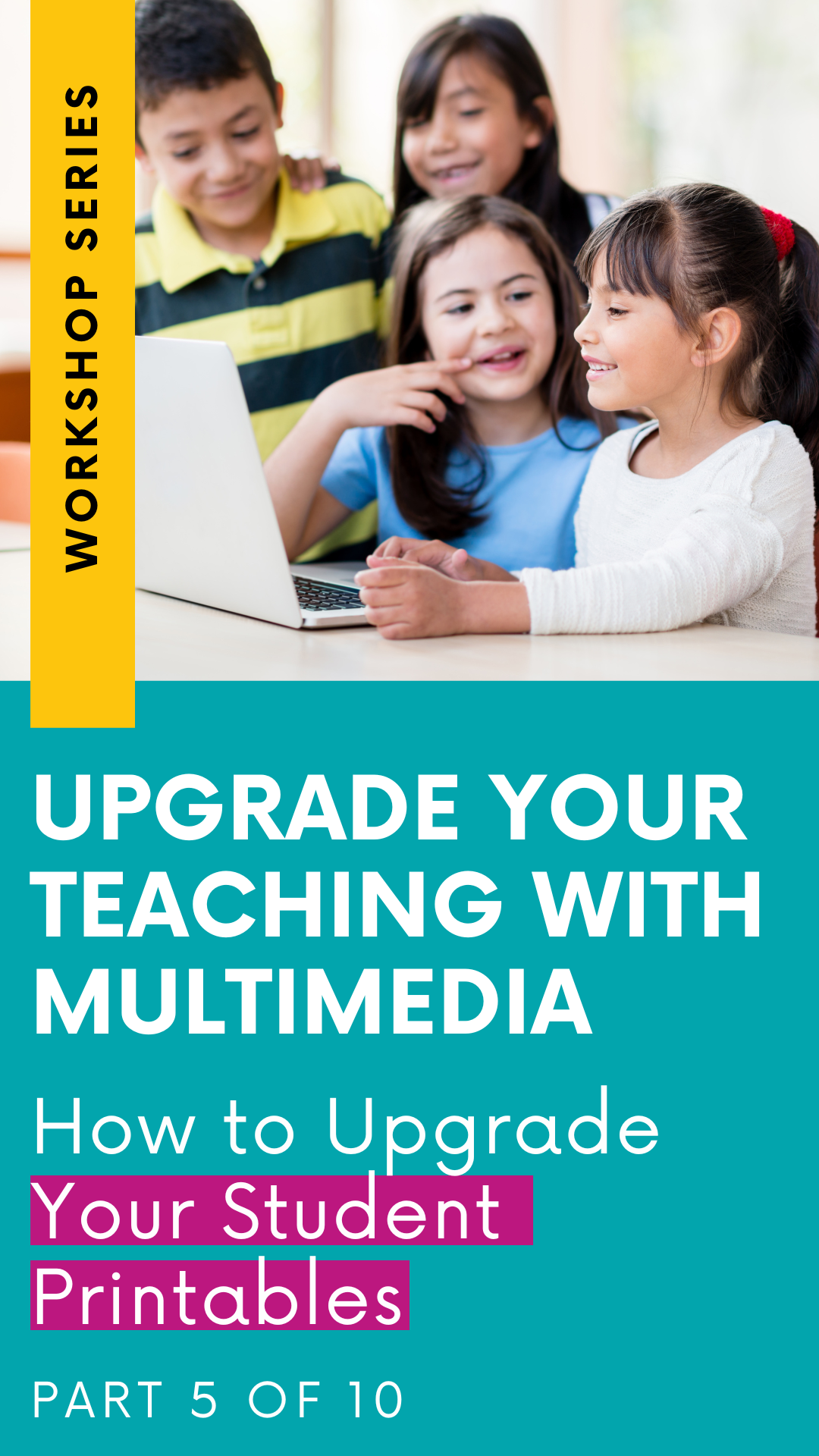
your student printables
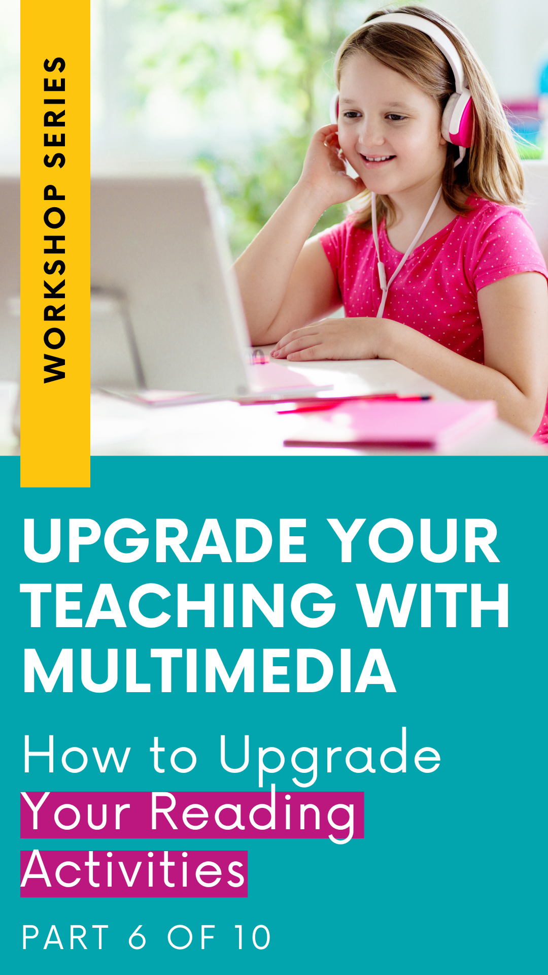
your reading activities
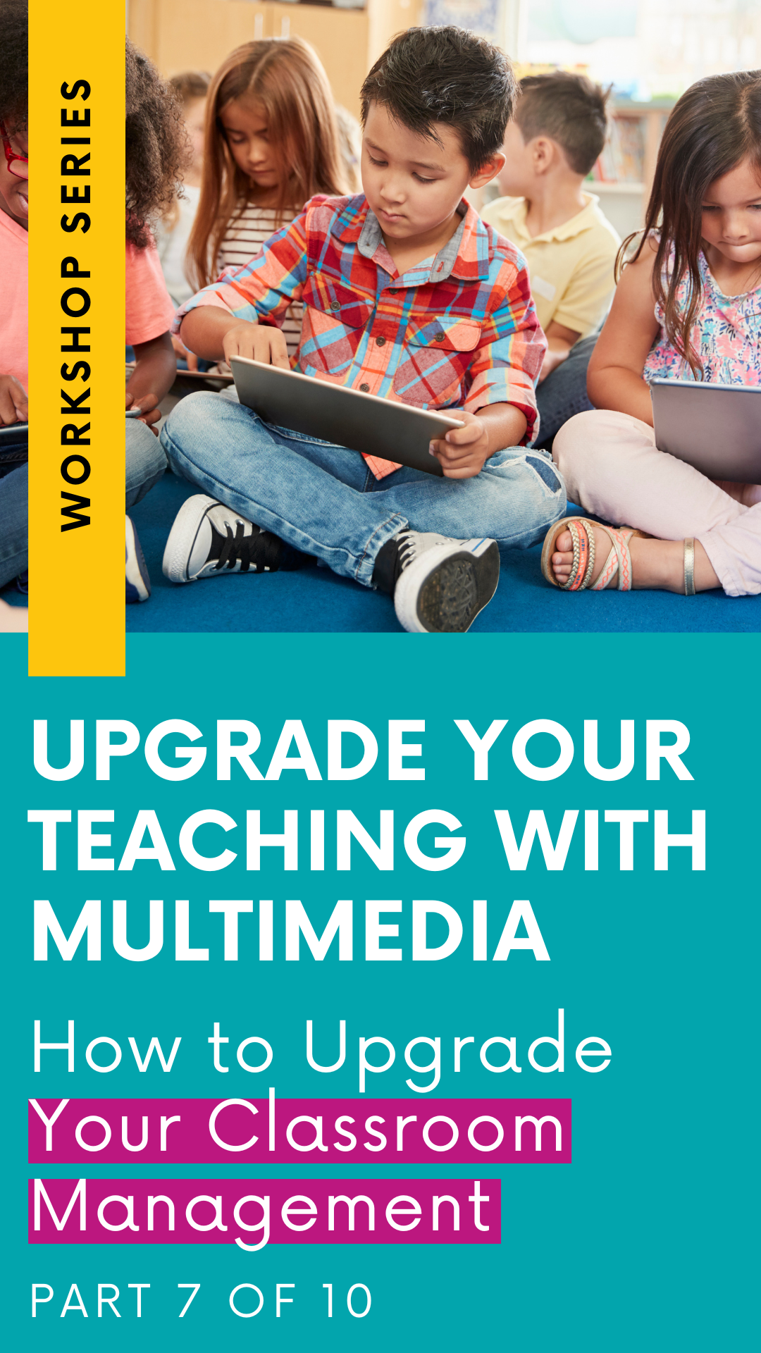
your classroom management systems and strategies
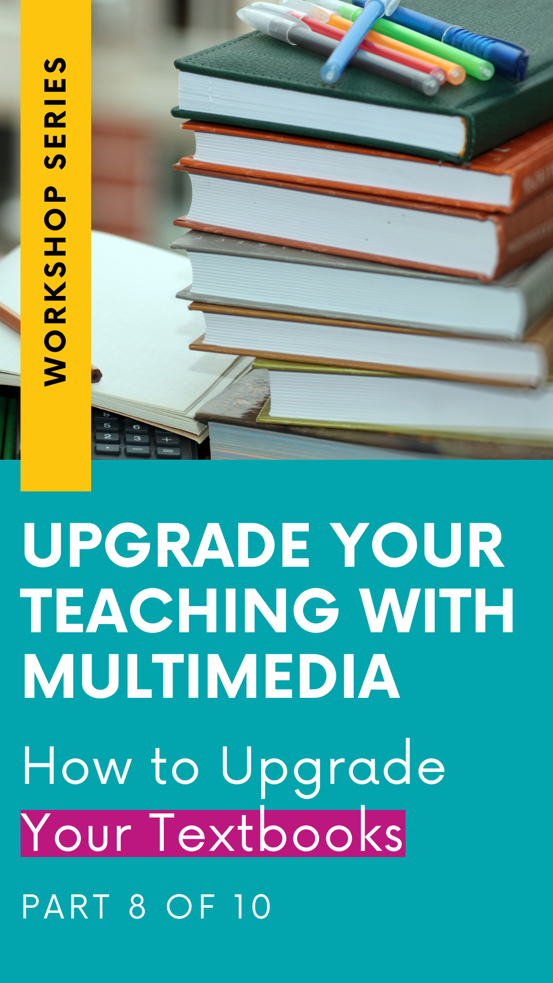
your textbooks
In today’s post, we’re talking maps! No doubt about it, learning how to read and navigate a map is a crucial skill. But let's face it, those days of unfolding massive trifold maps (and struggling to fold them back) are long gone. It's time to embrace the 21st-century upgrades for all our map exploration needs!
Say goodbye to the old-school ways and get ready for some exciting new multimedia-infused options. We've got a world of digital tools at our fingertips to make map exploration a breeze. Let's dive into the modern wonders that await us! Today we’ll explore 2 multimedia map tools to upgrade your classroom map activities.
Using Multimedia & Technology to upgrade your MAPS
GOOGLE EARTH
Have you tried using Google Earth with your students yet? If not, this is your sign to give it a go!

Google Earth is like a captivating virtual reality experience that brings multimedia instruction right into your classroom. You have the option to either create your own projects on Google Earth or dive into an extensive library of pre-made resources curated by Google. They have put together an incredible collection of virtual tours showcasing famous landmarks worldwide, national parks, cities across the globe, and much more. You can even explore the underwater world using Google Earth!
With Google Earth, you can take your students on exciting virtual field trips, incorporate it into research projects, or simply use it as a tool for making science and social studies connections. Instead of just discussing the location of historical events, you can transport your students there virtually, thanks to Google Earth.
Looking for more ways to use Google Earth in the classroom, check out the post below with 12 different ways to incorporate Google Earth into your instruction. The post includes a video tutorial for beginners, as well as an overview of the different features available to teachers and students. Plus: I’ve included an explainer video that you can share with your students to help them learn how to navigate Google Earth as well!
Read It Here: 12 Ways to Use Google Earth with Elementary Students
GOOGLE MY MAPS
Did you know that Google Maps can help you develop key map skills with your students while harnessing the power of multimedia and technology? It's a fantastic tool that opens up a world of possibilities!

Google My Maps, a web-based service provided by Google, allows users to create, customize, and share their own custom maps. You and your students can create personalized maps with markers, lines, shapes, and text. It's a fun and interactive way to engage with geography.
With Google Maps, students can digitally interact with maps in a variety of ways. They can navigate around the map by simply clicking and dragging their mouse, zoom in or zoom out to explore details, and even follow a specific route for better understanding.
By using Google Maps, you can encourage your students to explore their community or delve into historical sites. It's a great opportunity for them to learn important map skills, such as finding a specific location on a map, understanding common map symbols, and reading maps effectively.
More posts in this series: